Fort Sage

Just a map or two
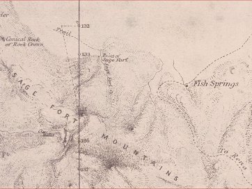
Excerpt of the Von Schmidt map showing "Ruins of Sage Fort" across from mile marker 133
The entire strip map
Note the amount of error between the so-called "Von Schmidt line" and the more accurate border surveyed later. This error does not appear in the stip map you…
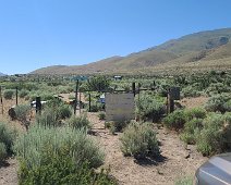
Part of the Fort Sage Drift Fence, a rock wall used by Indians to capture sheep and/or deer.
The rest of the Fort Sage Drift Fence, about seven miles southeast of the supposed location of Fort Sage.
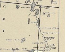
Map showing Perry Jocelyn's march in May, 1872, from Reno to Camp Bidwell, California. From Mostly Alkali by Stephen Perry Jocelyn, 1953.
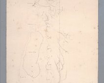
The soldiers left the roa blocked with their snow mobiles to hinder Indian attack. Or, perhaps, this was all put here much later. At any rate, this is the kind…
A wider shot, showing the Fort Sage Mountains
Looking west at the Honey Lake Valley